-
Any Interested DIY’ers heres a link to my Custom RTK H
My build -Full RTK HEX by u/Expensive-Ocelot-379 in diydrones
-
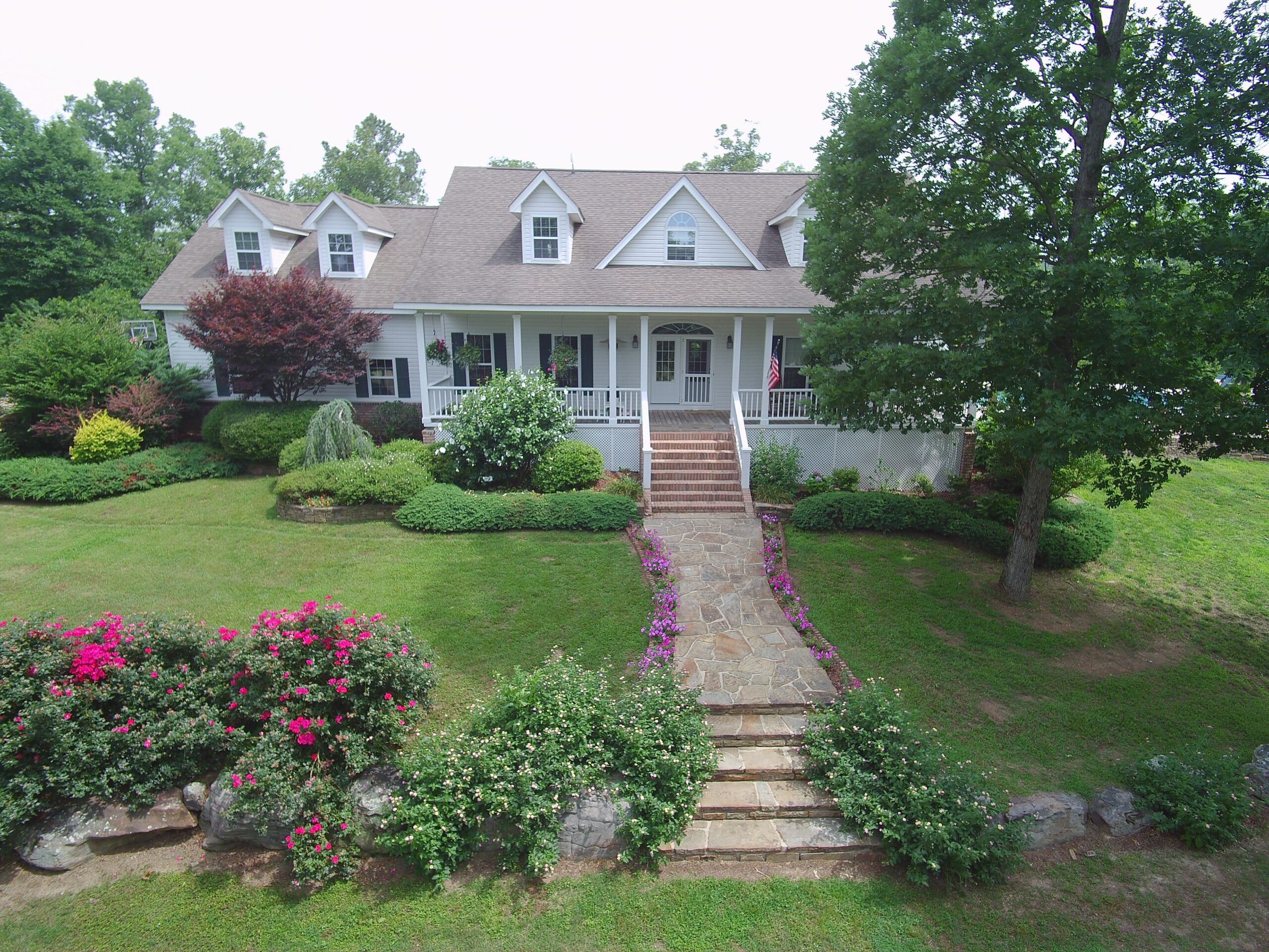
House in Sunshine
Below are a few Beauty shots, a High Resolution Image stitched together from a series of 60 NADIR images taken and an ORTHOMOASIC from the same.
-
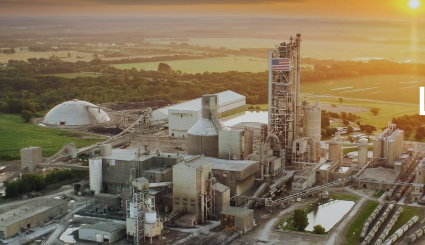
500 acre quarry in SW Arkansas
One of our larger projects was a 3D map of a 500+ acre quarry in South East Arkansas, We were asked MAP the quarry facility in order to calculate potential volumes from new areas. ORTHO Photo Generated using over 800 images flown over 4 days. IMAGE displayed is a screenshot of actual ORTHO image to…
-
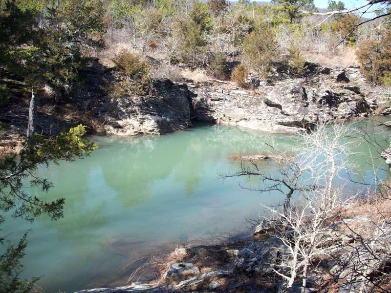
Main Haul RD Jessiville
-
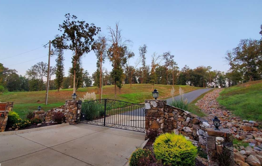
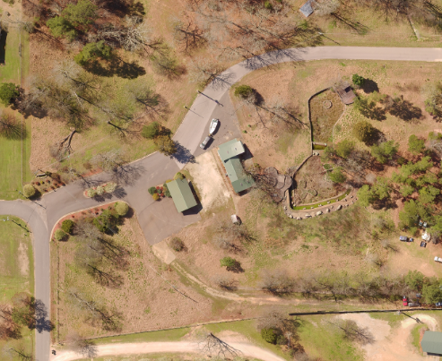
Paradise Ridge Lot 3
-
New Shopping Center on 7 South
By providing the data to produce a color referenced ortho image ATOKA, inc. a local engineering firm was able to construct a dense point cloudon strip center renovation in the 7 south area of Hot Springs.
-
Clearwater Pointe Orthophoto
Arkansas Drone Services was hired to provide new developers high def orthophoto and ancillary 3D deliverables pre renovation.
-
HOT SPRINGS RC FLYING CLUB
Hot Springs RC Club -This is a LOW resolution Screenshot of a Dense Point Cloud Arkansas Drone Services made in an early test flight using our Fixed Wing UAV, For more Details contact me.
-
Baywood Colony Condo
-
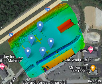
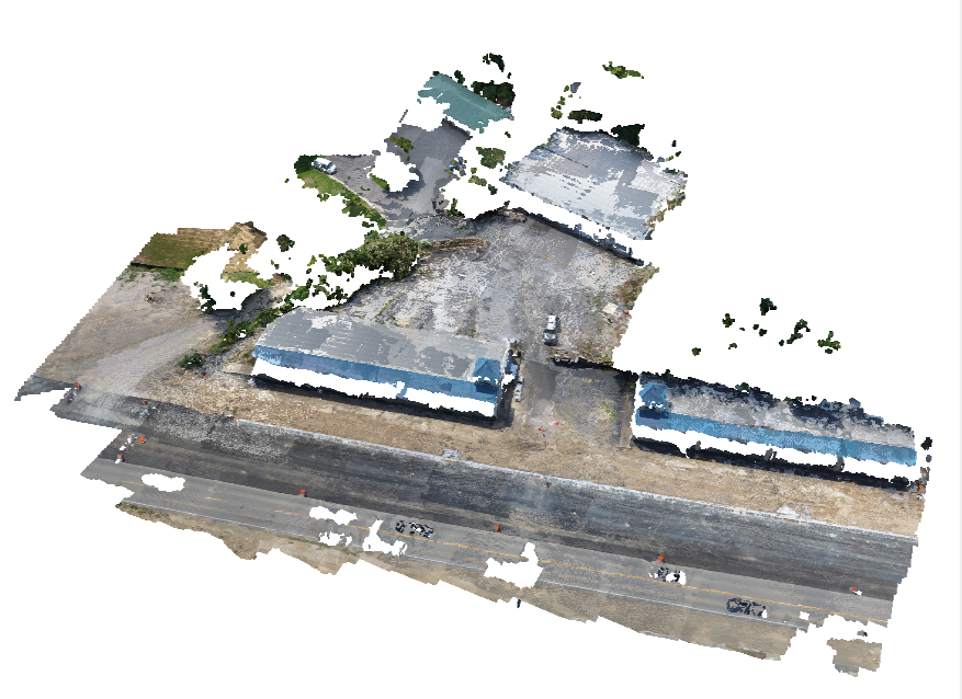
Facility in Malvern
Image Hosting by Maps Made Easy. Use the menus to zoom and view alternate layers. Using orthomosaic photogrammetry Arkansas Drone Services was able to provide this client with all the data needed to generate topographic maps with 2ft contour lines and colorized DEM to indicate areas with drainage issues.