500 acre quarry in SW Arkansas

Drone Used:
Tuff Wing -Fixed Wing
Camera:
SONY NEX 5n
Job Acreage:
550
Missions Flown
4
Images Utlized:
1000
Mission Type:
HI DEF Image, Topographic (TOPO) Mapping, DEM/DTM, Volume Calculations
Software Used:
Global Mapper -Drone Image and Mapping tool, QGIS -Open Source GIS Application, Geosetter -GEO Tag Images, RTK LIB -Post Processing Kinematic (PPK)

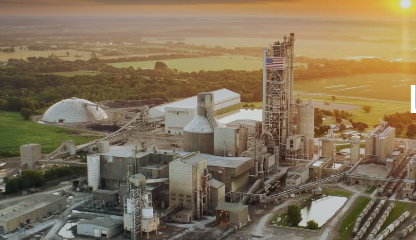
One of our larger projects was a 3D map of a 500+ acre quarry in South East Arkansas, We were asked MAP the quarry facility in order to calculate potential volumes from new areas.

ORTHO Photo Generated using over 800 images flown over 4 days

ORTHO Photo Generated using over 800 images flown over 4 days. IMAGE displayed is a screenshot of actual ORTHO image to reduce load time.

Contour lines on 5 ft interval generated from DEM

Deliverables included a TOPO Map with 5 ft contour lines, Geo Referenced Ortho Map and Ground Control points.


Posted

in

,

by

Tags: