Category: Fixed Wing
-

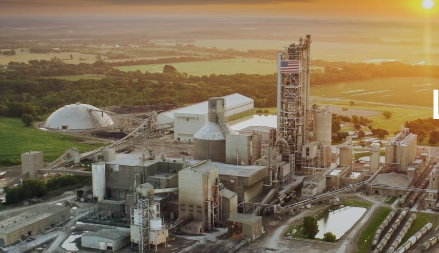
500 acre quarry in SW Arkansas
One of our larger projects was a 3D map of a 500+ acre quarry in South East Arkansas, We were asked MAP the quarry facility in order to calculate potential volumes from new areas. ORTHO Photo Generated using over 800 images flown over 4 days. IMAGE displayed is a screenshot of actual ORTHO image to…
-

HOT SPRINGS RC FLYING CLUB
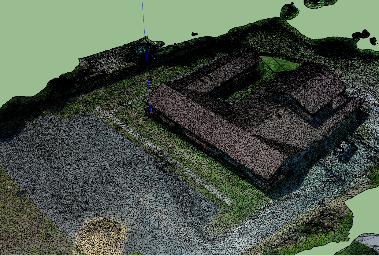
Hot Springs RC Club -This is a LOW resolution Screenshot of a Dense Point Cloud Arkansas Drone Services made in an early test flight using our Fixed Wing UAV, For more Details contact me.
-

Hot Springs Community School -LAB Project
Working with the students on several different projects from DIY Base/Rover operations to Drone work, was a highlight or my career. Below are just a few examples of our time together. Image Hosting by Maps Made Easy. Use the menus to zoom and view alternate layers.