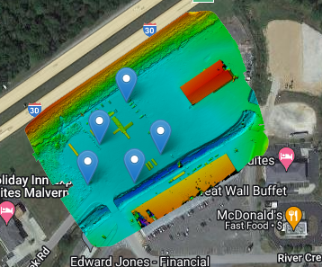
Image Hosting by Maps Made Easy. Use the menus to zoom and view alternate layers.
Using orthomosaic photogrammetry Arkansas Drone Services was able to provide this client with all the data needed to generate topographic maps with 2ft contour lines and colorized DEM to indicate areas with drainage issues.
