Diamondhead Project

Drone Used:
YUNEEC Typhon H
Camera:
YUNEEC CGO3 4K UHD
Job Acreage:
< 1
Missions Flown
1
Images Utlized:
72
Mission Type:
Color Referenced ORTHO Image, Topographic (TOPO) Mapping, Dense Point Cloud
Software Used:
Maps Made Easy -Drone Mapping, WebODM -Open Source Mapping, QGIS -Open Source GIS Application

Image Hosting by Maps Made Easy. Use the menus to zoom and view alternate layers.

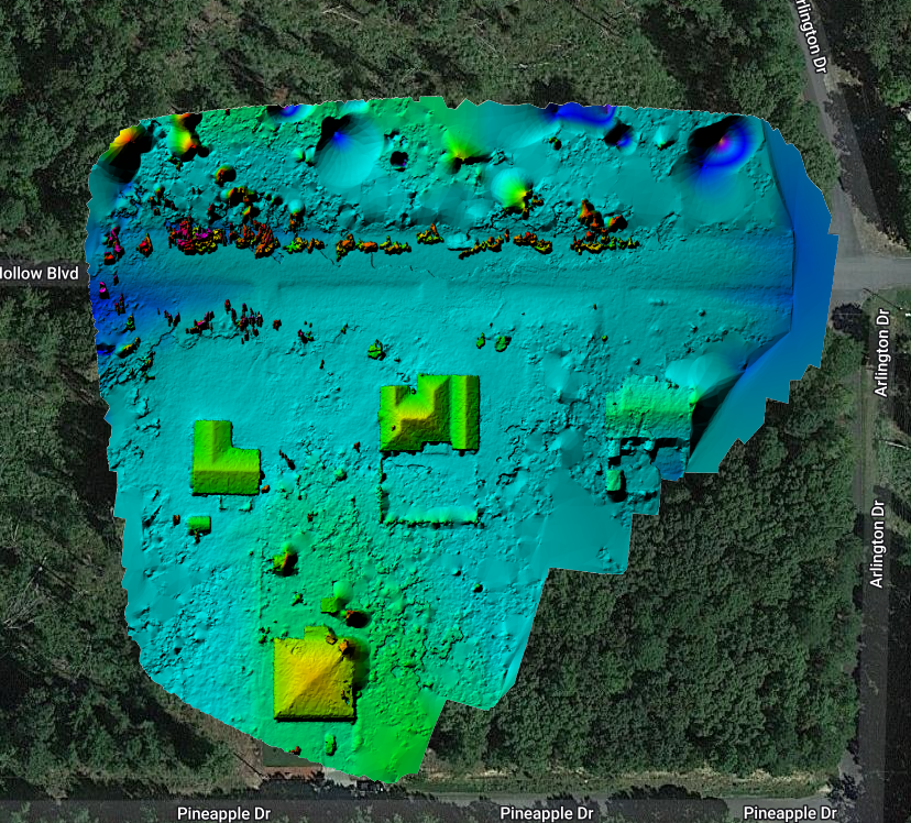
Even homeowners can benefit from the services provided by Arkansas Drone Services. This resident of Diamondhead found a nice GeoTIFF Image very helpful in showing potential buyers the proximity of his property to his neighbors fence.


Posted

in

,

by

Tags: